NASA scientists have developed a self-supervised AI tool for detecting harmful algal blooms from space, a practical problem that sits between ocean science, public health and remote sensing. In a study NASA says was recently published in AGU Earth and Space Science, the system fused data from several satellite missions and detected harmful blooms in western Florida and Southern California.
The need is straightforward. Coastal agencies already sample water, issue warnings and close beaches when toxic blooms threaten people, wildlife or aquaculture. But sending crews to collect samples takes time, and it is hard to know exactly where to test when a bloom is beginning. A satellite system that narrows the search area could make the existing response faster and less blind.
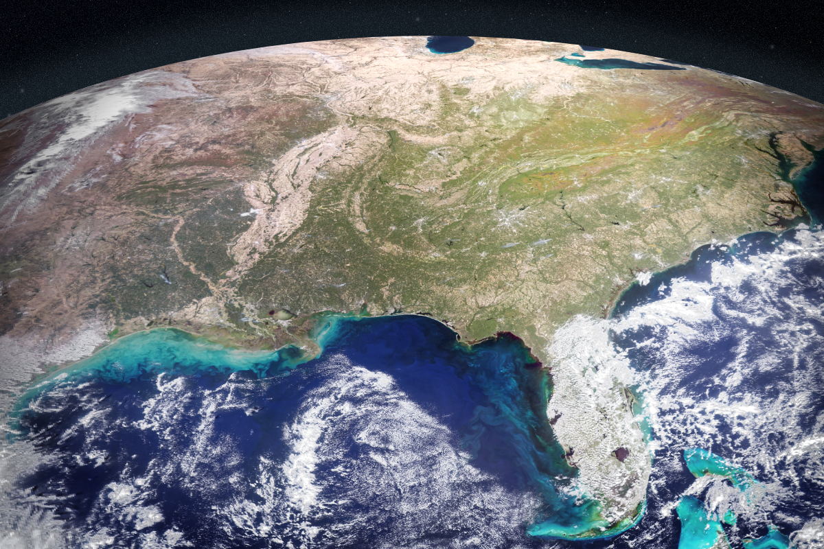
NASA’s example species are familiar to coastal managers. Karenia brevis can drive red tides in the Gulf, killing wildlife and producing airborne toxins that irritate human lungs. Pseudo-nitzschia blooms on the West Coast can poison marine mammals. Both are difficult to monitor in messy near-shore waters where sediment, runoff, plants and changing light complicate the signal.
The new system tries to make better use of instruments already in orbit. NASA says the team brought together findings from five space missions or instruments, including PACE, whose hyperspectral Ocean Color Instrument can help distinguish algal communities by size, shape and pigment, and TROPOMI, which can detect a faint red glow associated with photosynthesis in species such as K. brevis.
The important technical detail is that the model is self-supervised. Rather than requiring every relevant scene to be manually labelled in advance, it learns relationships across multiple streams of satellite data and then uses field and lab measurements to anchor those patterns in the real world. NASA says the model was trained on 2018 and 2019 satellite data, then evaluated on later time periods in the same regions.
Initial results suggest it can correctly identify and map harmful blooms, including specific species, even in complex coastal water. That is encouraging, but still early. The team is now adding more coastlines and testing other water bodies, including lakes, with the goal of making the tool useful to decision-makers in coming years.
The restrained version of the story is the useful one. This is not “AI solves algae”. It is a good example of machine learning as glue: a way to turn large, heterogeneous satellite archives into an operational hint about where limited human attention should go next.